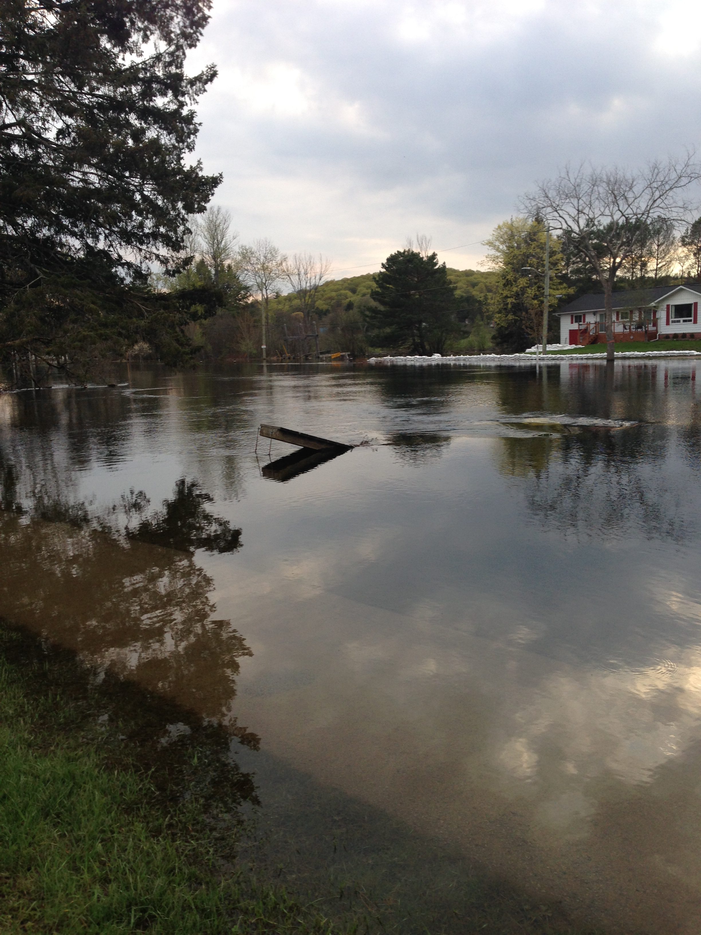
Minden Hills has more information that could help in planning for flood mitigation. The township had a study done on what it considers high-risk flood zones.
According to the report shown to the Committee of the Whole last week, the high-risk areas are the urban area of Minden, a portion of Highway 35 by Moore Lake Estates Road as well as Beaver Creek, which is west of Bobcaygeon Road. Mayor Brent Devolin says the study has some recommendations on how to reduce the flood risks. He says the data, as well as some advanced mapping techniques, could be really helpful.
Lidar mapping will give land measurements down to the centimetre which will help the township be more aware of the risks of building in high-risk flood zones. Devolin adds that Minden can take care of some measures in the report but that the township will need help from both upper levels of government.
You can see a copy of the report here.


