The county is looking for proposals from companies with access to a certain kind of mapping technology.
It wants companies that can use LiDAR to create images of the floodplains in the area. Haliburton County is hoping to make use of the National Disaster Mitigation Program. That’s a five year, $200 million project offered through the federal government. The program is designed to help cover the cost of risk assessment, flood mapping and mitigation planning.
The first step of the process has already started. Haliburton County is accepting proposals on the acquisition of a LiDAR system. LiDAR stands for light detection and ranging, and it uses pulses from a laser combined with other data to create a 3-D image of the area being mapped. The county is using this program to potentially map out the Burnt and Gull River watersheds.
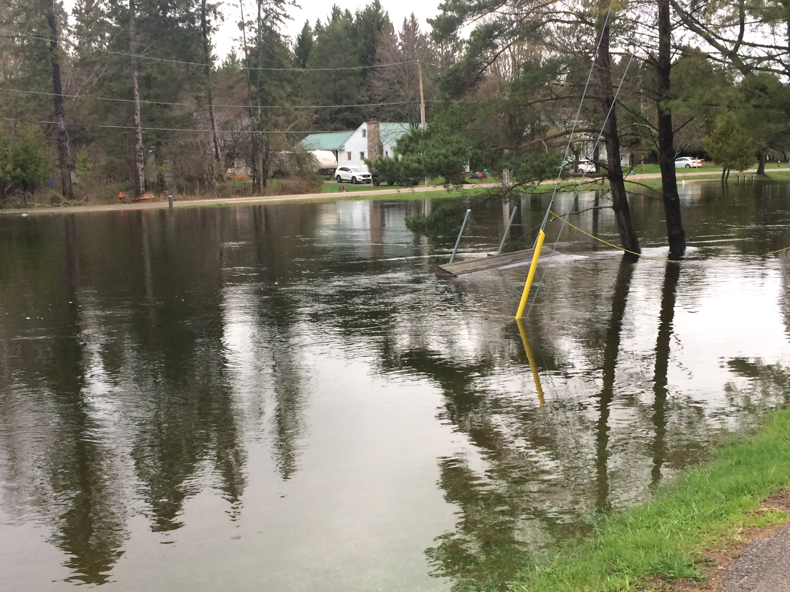
The goal of the project is to get a better understanding of the flooding in the area and generate detailed characteristics of the floodplains. Any proposal needs to have two different cost estimates for getting LiDAR here.
More details on the requirements and how to submit proposals can be found here.


